Wednesday, December 26, 2012

Deem Hills


Yesterday was my 4th annual Christmas Day hike. At 8:15 a.m., the weather was overcast with temps in the mid-40s and a steady wind, which made for a brisk and invigorating hike at Deem Hills. I left the trail head on the Circumference Trail, which circled a basalt-strewn knoll. 20 minutes into the hike, I veered off onto the Ridgeline Trail. 20 minutes later, I was on a cold and blustery ridgetop. The wind chill must have been in the high 30s. There was more bluster than GW declaring "Mission Accomplished." It was colder than Barry reviewing his Tuesday Kill List.

After a few minutes admiring the 360º views on top, I headed down the Ridgeline Trail to pick up the Circumference Trail on the other side of the knoll. After an approximate 4-mile, 1:20 hike, I was back at the trail head ready for a hot cup of coffee.

Later in the day, I went to Lux for Christmas dinner and a couple glasses of wine.


Leaving the trail head

Cholla cacti

Circumnavigating the knoll

Creosote and cacti amid the basalt

Trail marker

Squaw Peak off in the distance

Looking north

Looking back along the Ridgeline Trail

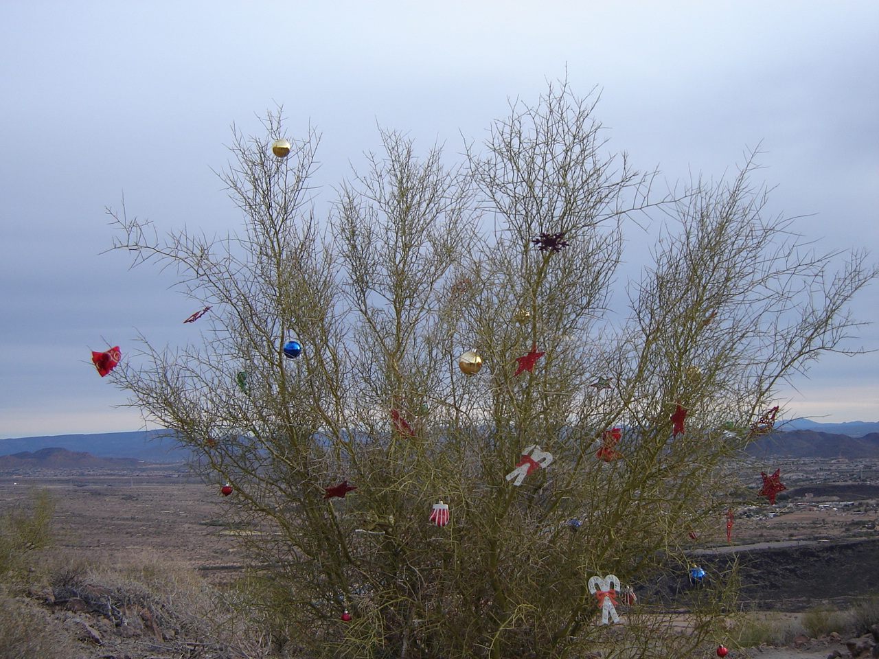
Christmas on the ridgeline

A canal runs through it

Another knoll to the north

The home stretch

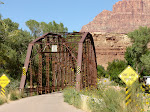
Sweet ride back at the trail head

First course at Lux: butternut squash soup; kale salad with feta cheese, dates, and roasted pine nuts

Second course: prime rib, mashed potatoes, asparagus and a glass of Malbec

Saturday, October 13, 2012

2012 Zion Canyon Music Festival


On September 27th, I drove up to Springdale, UT for the 4th annual Zion Canyon Music Festival. This is my third consecutive year at the event. (See here for 2010 and 2011) Once again, Bill and Janel Bassett served as my gracious hosts.

Favorite Friday act: The Brothers Comatose

Favorite Saturday act: Trevor Green

Favorite food: Gyros served by Café Soleil


Terry Evans

All the vendors are set up

Full moon rising over the east side

I had dinner each night at The Bit and Spur

Salad with grilled chicken, grapefruit, cashews and goat cheese

 
Random pictures:


Artwork in front of Park House Cafe

Sunrise on Eagle Crags

Yes, you read that correctly

Bonus Video:  The Shakers


Monday, October 08, 2012

Zion Canyon - Zion National Park

View of the Virgin River from the Canyon Jct. bridge. The Watchman is the prominent rock formation in the background

On Saturday morning, instead of taking a hike, I did the tourist-y thing and took the shuttle bus up Zion Canyon. For most of the year, the 7 mile canyon is off-limits to auto traffic. (Here are my 2010 and 2011 hikes.) I parked at the Canyon Junction and hopped on the shuttle bus, making numerous stops in the canyon until I reached the end at the Temple of Sinawava.

Canyon Junction:  Where Pine Creek dumps into the Virgin River

The Streaked Wall

The river flows over the impoundment

Court of the Patriarchs: Named after patriarchs of the Old Testament

l to r: Mount Abraham, Mount Isaac

Standard Navajo Sandstone

Zion Lodge: Early scenes in Clint Eastwood's movie The Eiger Sanction were filmed here.

Zion Lodge

View from the lodge across canyon

Virgin River at the Emerald Pools trailhead

Mama mule deer hunkering down

Mule deer fawn hunkering down. Can you see it?

The Grotto:  Picnic area and trailhead for Angels Landing and the West Rim Trail


Can you see the woman in the cliff face?

Angels Landing from The Grotto

Big arch

Weeping Rock:  Rain and snow melt on the plateaus, thousands of feet above the canyon floor, permeate through the porous sandstone until it hits a layer of impermeable shale. The water then flows out through seams between the two layers.

Alcove with granary

Weeping Rock

View of canyon from Weeping Rock

Enlarge to see the water streaming from Weeping Rock

Temple of Sinawava:  The scenic drive ends here. The Narrows begins here.

The notch is the start of the Zion Narrows

The Pulpit

Towering sandstone cliffs

More cliffs

View out the shuttle bus roof

Sunday, October 07, 2012

Kolob Terrace Rd. - Zion National Park

Recovering burn area

On Friday morning, I drove up the Kolob Terrace Road for some sight-seeing. The Kolob Terrace is a rarely visited part of Zion National Park. To get there, you drive west from Springdale, UT, on Route 9 until you get to Virgin, UT. It's about 8-9 miles. The first road you come to in Virgin is the Kolob Terrace Rd. (KT Rd.) You turn right and begin your ascent up to Lava Point. The elevation changes from about 3600' in Virgin to about 7800' at Lava Point. The road serpentines up, going in and out of the park boundary.


Looking back as I head up the KT Road

Does anyone else see Bob Hope?

Weirdness

Lee Valley

Hop Valley

Slot canyon after slot canyon

View from the hairpin turn at Maloney Hill

Looking back over the valley from near the Wildcat trailhead

The aspen are starting to turn

Aspen grove

Aspen and lava

View from Lava Point. The rift in the center is Zion Canyon. Horse Pasture Plateau is to the left

Heading back down the hill