Monday, September 27, 2010

Zion Canyon Music Festival

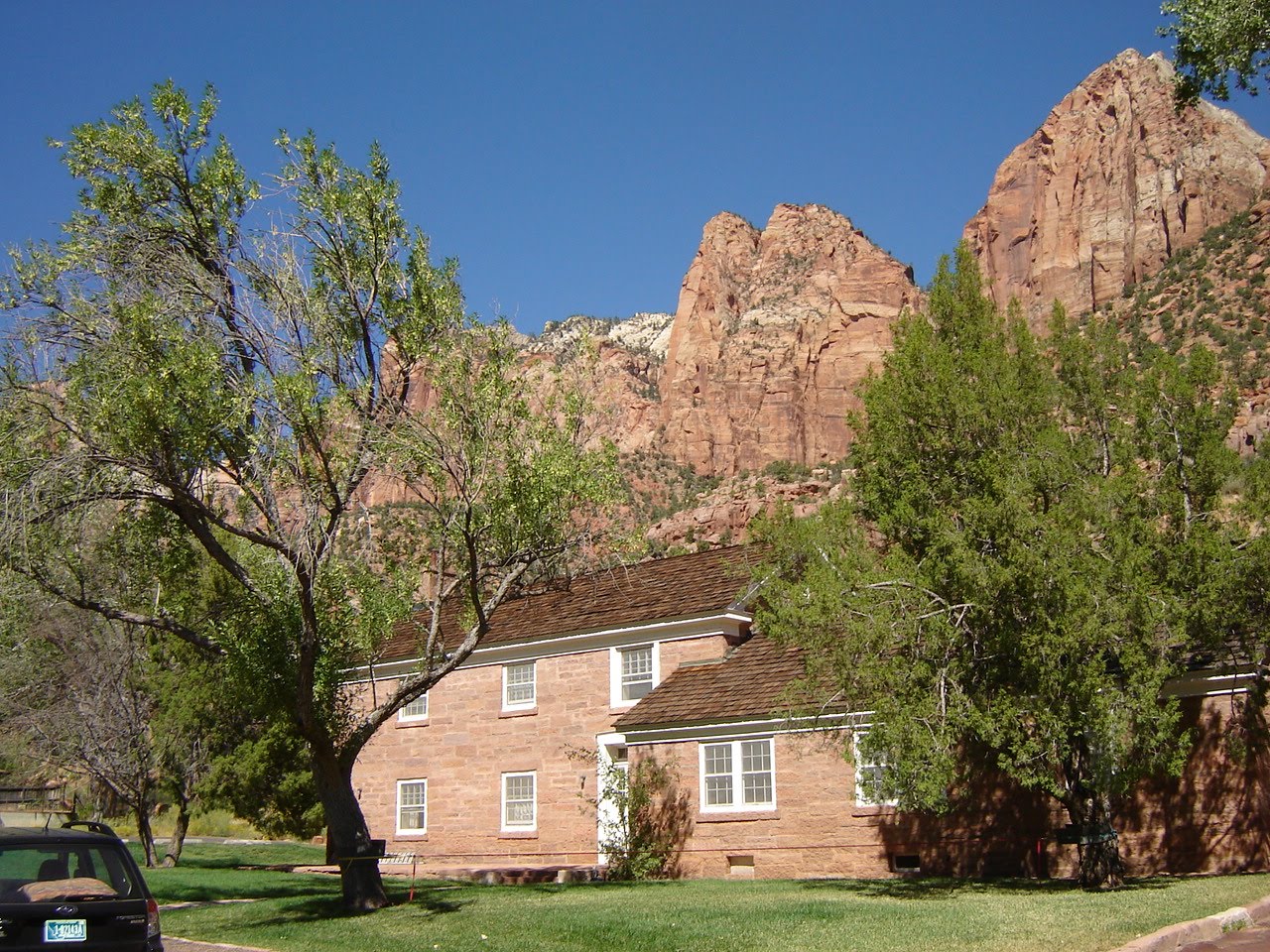
Approaching Zion Canyon

I attended the 2nd annual Zion Canyon Music Festival in Springdale, UT. Springdale is right outside the gates to Zion National Park; it's one of the great places in the world. The festival started Friday evening and went most of Saturday. There was great weather and an eclectic lineup of acts. There were also numerous vendors selling t-shirts, jewelry, etc. There was also a beer and food tent that had samples of the local fare. Good times were had by all. Hopefully, this festival will continue to grow. Everyone should visit Zion Canyon once in their life.

Favorite Band: Thrift Store Cowboys
Favorite Band Name: Crippled Stripper (click to see their awesome logo)
Favorite Food: Gyros from Cafe Soleil
Favorite Gaff: The generator went out on the Mother Hips at 10:30 pm on Friday
Favorite Cover: Shine On You Crazy Diamond by Crippled Stripper


Thrift Store Cowboys on the main stage


Great stage backdrop


Vendors


Climbing wall for the kids


More vendors

Lodging: While in Springdale, I stayed with my friends Bill and Janelle, whom I've known since the early 90s. They have a great house with great views. It was really tough duty to take these pics while holding a glass of Maker's Mark and Mexican Coca-Cola. Don't weep for me!


Zion National Park

The East Temple

Zion National Park is my favorite place in the U.S. I worked there as a seasonal ranger in 1990 and 1991 and I try to visit there as often as possible. It's a geologic wonderland of Navajo red sandstone and the effects of water and wind erosion. I'll let the pictures tell the rest.


Mighty canyon walls


Towering rock formations


Rock within sand


Sand within rock


The saddle portion is an itinerant waterfall


A huge Ponderosa pine soaking in the late September sun


View from the itinerant waterfall. You can see the dry wash below


Slot canyons everywhere


Iron deposits on top of sandstone


Found this hiking up a drainage. Hope it isn't a headstone


Wind and water shape the rock


Oak Creek Dorm. My humble abode for two seasons

North Towards Utah

Entering Lake Mead National Recreation Area

On the way to the music festival, I took Route 93 out of Wickenberg, AZ, up through Kingman and then to Lake Mead NRA. Currently, the highway goes right over Hoover Dam, but a new bridge and roadway is being built to divert traffic off the dam. I then drove through Lake Mead up to Interstate 15 and then north to southern Utah.


Barren and desolate


Approaching Hoover Dam


Lake Mead looks a might low


Hoover Dam


The new bridge


Massive bridge support


The Grid

Bonus Video: I took video as I was crossing Hoover Dam, which will be a thing of the past once they open the new bridge to traffic. No people or animals were harmed during the filming of this video, nor were any citations issued.

Route 89A

View from atop the Kaibab Plateau

Returning from the music festival, I took Route 59 out of Hurricane, UT to pick up Route 89A at Fredonia, AZ. From Fredonia, you head south and make the climb up the Kaibab Plateau. At Jacob Lake, you're at about 8000' in elevation amid a ponderosa pine forest. From here, you can take Route 67 to the North Rim of the Grand Canyon. I began the drive down the other side of the plateau into the sage flats and along Vermillion Cliffs National Monument.

This is real Desert Southwest mesa territory. You half expect The Roadrunner and Wile E. Coyote to run across the road in front of you.


South edge of the Vermillion Cliffs


Classic Southwestern mesa


View from Lee's Ferry Lodge


Near the turn off to Lee's Ferry


Crossing the Colorado River at Marble Canyon


View from the foot bridge


Spanning the Colorado


Looking straight down; a small, sandy beach separates red rock from emerald water


Lee's Ferry is just up river a piece...I reckon.

Sunday, September 12, 2010

Steele Indian School Park - Phoenix

Palm-lined walkway

The Phoenix Indian School operated from 1891-1990. It was purchased by the city of Phoenix in 1996 and re-opened as a park in 2001. A wide concrete walkway, called The Circle of Life, encircles the 3 remaining buildings of the Indian School. To the south of this walkway is the Entry Garden, which is a representation of Sonora Desert plants.


Overlooking the Entry Garden


Water cascade and pond in the Entry Garden


The Arbor bridge connects the Entry Garden to the Circle of Life walkway


Memorial Hall


Grammar School building


The Dining Hall


South end of the Circle of Life


This water feature bisects the Circle of Life


Disrepair in Indian School - these pictures were taken through windows, so I apologize for any glare or fuzziness.


Grammar School interior


Grammar School interior


Dining Hall interior


Dining Hall interior