
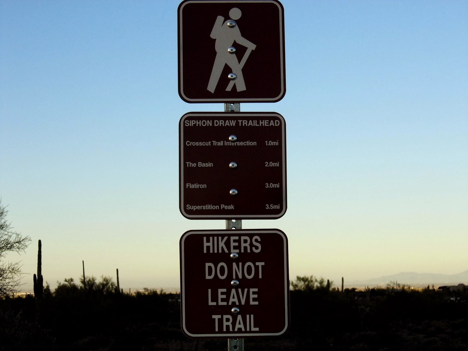
Yesterday, I drove 40 miles east of Phoenix to Lost Dutchman State Park, which sits at the base of the Superstition Mountains. I decided to take the Siphon Draw Trail up to the Basin. The trail starts in the state park and then crosses into National Forest land.
Metrics:
Distance: 4 miles roundtrip
Trailhead elevation: 2080'
Basin elevation: 3100'
Ascent time: 1 hour, 15 minutes
Descent time: 1 hour 5 minutes
Weather: low 60s and clear at 8 am
Level of Difficulty: strenuous
This was a tough hike. It started as a gradual upslope and got steeper as you got closer to the Basin. The Basin is a narrow chute of slick rock at the top of the draw. The established, maintained trail stops at the bottom of the Basin. If you want to continue up to the top at 4800', you have to follow a well-worn social trail. I hiked just above the Basin and called it good.


1 comment:
"Dave, that was lovely, thank you for sharing,"
Post a Comment